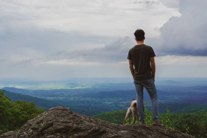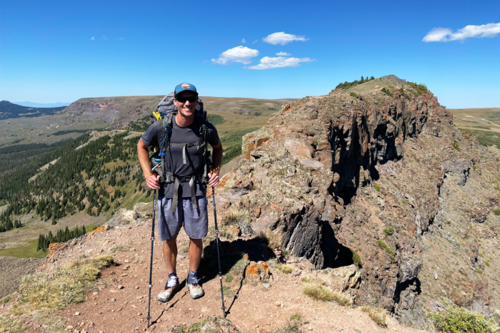
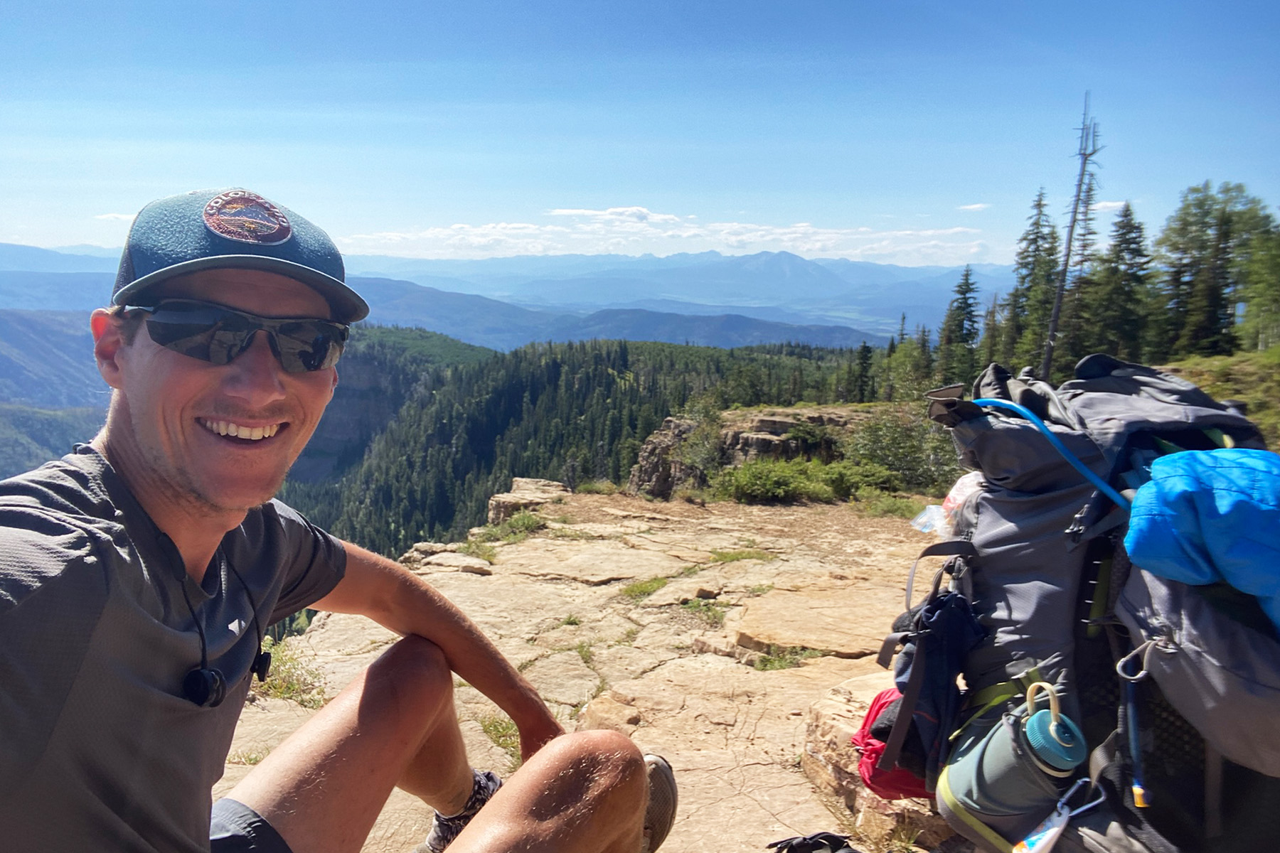
After Kevin Silvernale finished thru-hiking the Pacific Crest Trail (PCT) in 2016, he was hooked and started devising his own long-distance trail. The 34-year-old Colorado local went on to hike the Appalachian Trail (AT) in 2018, the Continental Divide Trail (CDT) in 2021, and the Colorado Trail (CT) in 2022.
Then, in 2024, he became the first person to complete the Northern Colorado Trail (NOCO) — a new thru-hike he designed himself. “I started plotting points on the map about a year and a half ago, and then last August, I went out and went for it,” he told GearJunkie.
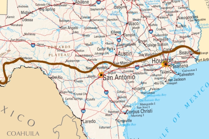
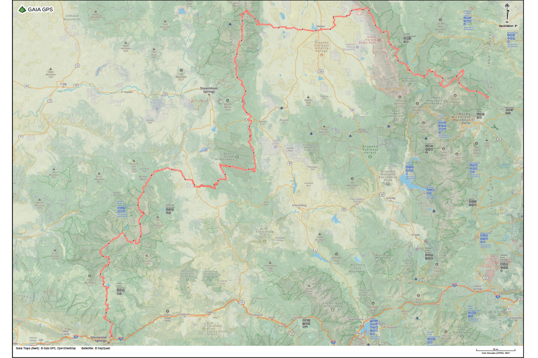
The 299-mile route starts at the Dunraven Trailhead near Estes Park and terminates at the Transfer Trailhead in Glenwood Springs, Colo.
“I knew Northern Colorado had a lot of gems in it, so I was really trying to sequence in as many of them as I could,” Silvernale said. “It’s very scenic. You’re up high on ridgelines for a lot of it. You’re in mountainous terrain. It’s rugged. It’s challenging. But you do get the alpine lakes and the scenic views and all the cool stuff that comes with that.”
Silvernale only established the route in 2024, but he said he fully expects thru-hikers to be out on the NOCO this summer. Since publishing the map and his website for the route, he’s received a lot of inquiries and questions.
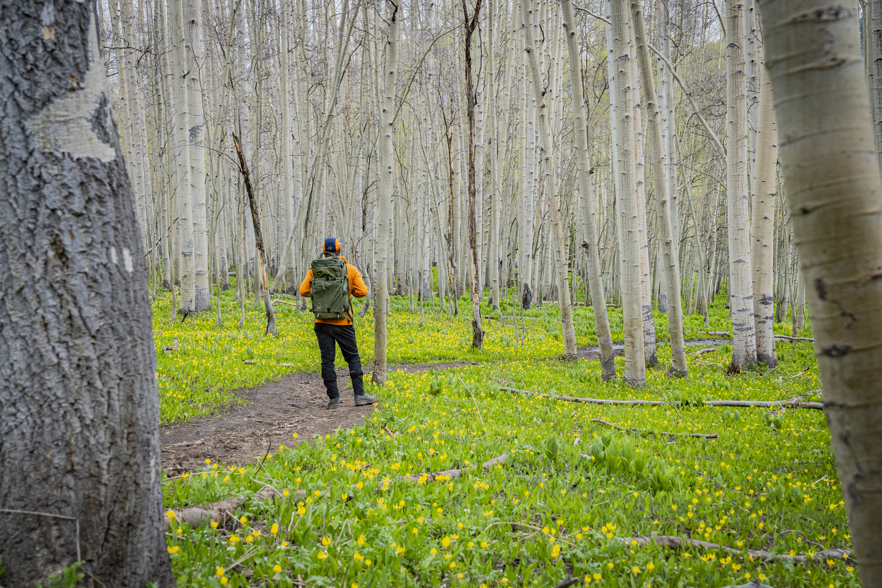
If you’re looking for a new thru-hike or just want to explore a new part of Colorado on foot, the NOCO passes through some of the most beautiful, unique, and remote parts of the state.
How to Hike the ‘NOCO Trail’
Northern Colorado is one of Colorado’s most unvisited regions. While the I-70 corridor, the Arkansas River Valley, San Luis Valley, Roaring Fork Valley, and South Park see a lot of traffic through the spring, summer, and fall, northern Colorado gets far less attention.
However, the areas where the NOCO trail passes are exceptionally beautiful.
The other appeal of this trip, compared to come of the longer thru-hikes on trails like the CDT and AT, is that it doesn’t have to require months of your time or thousands of dollars to complete.
“It took me 19 days with two days in town and a couple of short days just leaving or getting into town to resupply,” Silvernale said.
Dunraven Trailhead to Walden (~86 Miles)
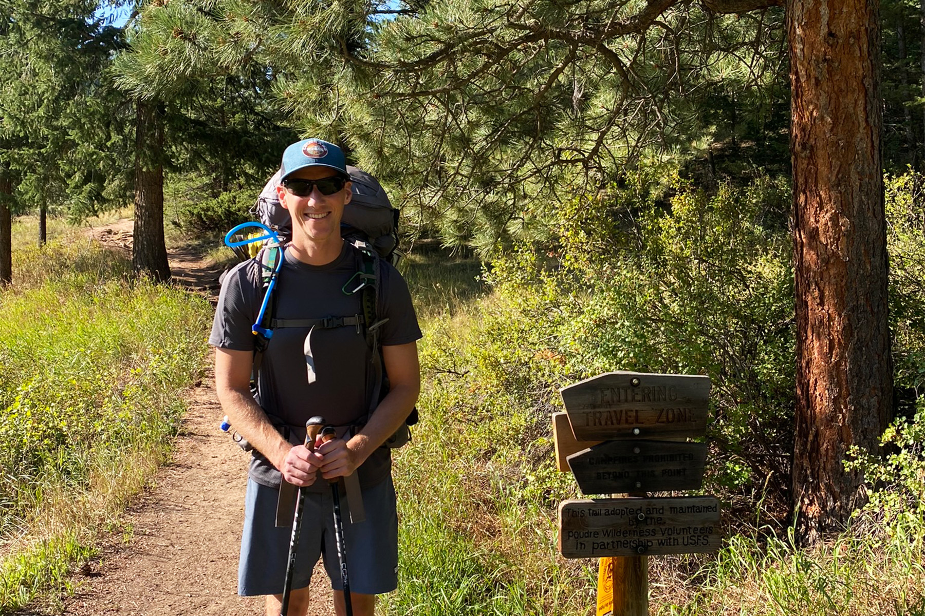
The NOCO route starts on the eastern side of RMNP. You can either take the northern RMNP Bypass route, which skirts the park and avoids the need for any permits or day-use passes. The main route however, goes through RMNP.
You’ll need a day permit to enter the park or an overnight permit if you plan on camping within it (more on this in a later section).
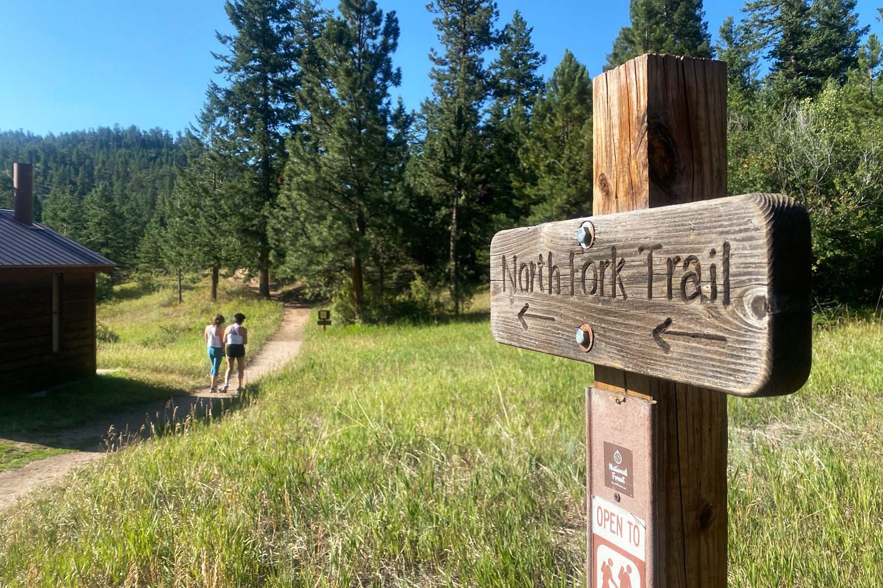
Once through RMNP, the route trends north toward Peterson Lake, and then northwest into Medicine Bow–Routt National Forest.
Hikers continue north along the Continental Divide Trail following a ridge. Shortly after that, this route descends east into Northpark and connects with CO 125. Hikers follow that road straight into Walden. There is a lot of private property in this area, so hikers should take care to avoid shortcuts and only camp where it is allowed.
Walden to Yampa (~121 Miles)
From Walden, hikers move east into the Sawatch Range. The trail diverges offering several alternate routes and shortcuts throughout this area. Depending on how much hiking someone wants to do, how much elevation gain they’re willing to conquer, and what their camping and resupply strategy is like, hikers may choose different options.
The main route turns south near Gold Creek Lake, west of Walden. It continues along that southerly crossing Highway 40 near Rabbit Ears, and continues until just past Gore Mountain. There, the route takes a sharp westward turn. It then heads toward Simpson Mountain before looping back around and west into Yampa.
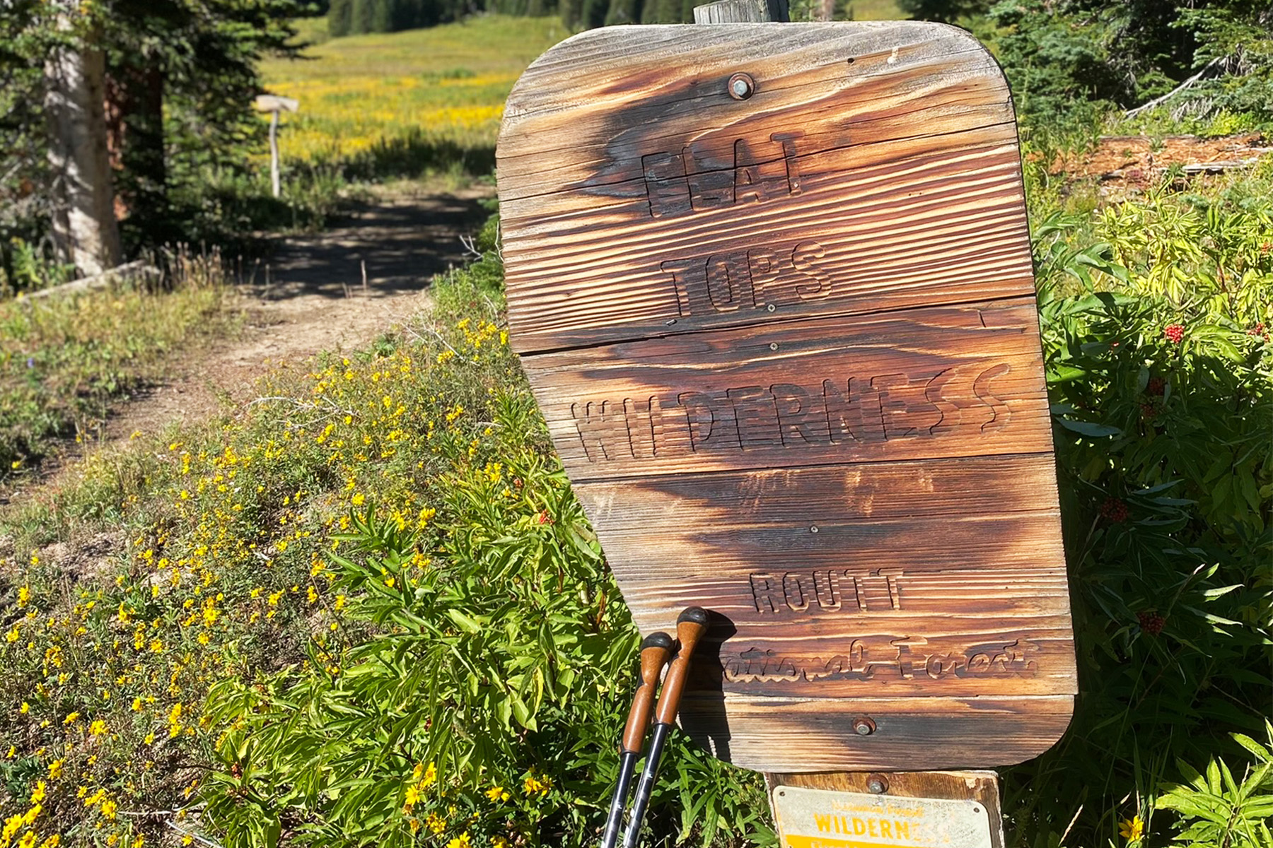
If you need some hot springs rejuvenation (or just a hot meal), that’s your last opportunity to get it before embarking into the Flat Tops Wilderness.
Flat Tops Wilderness to Glenwood Springs (~91 Miles)
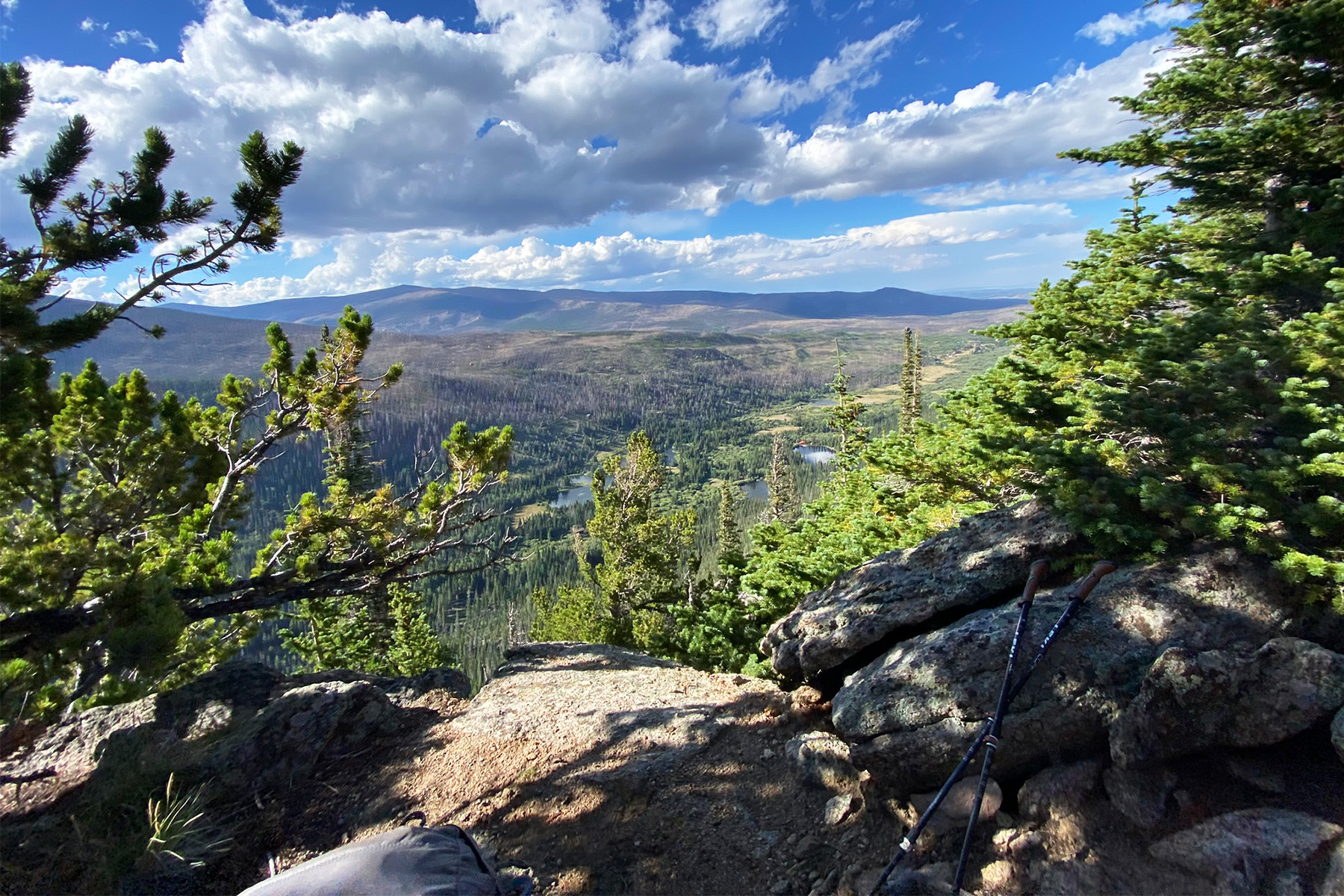
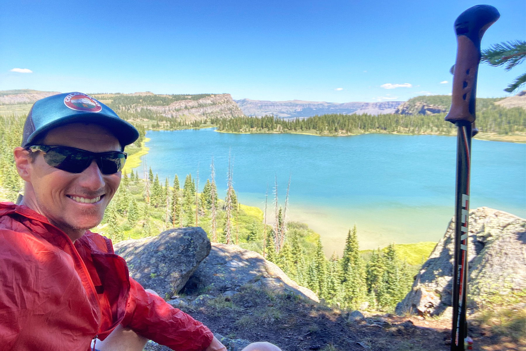
Once past Yampa, hikers enter the Flat Tops Wilderness. They’ll traverse the Devil’s Causeway, one of the most underrated backpacking routes in the state.
Hikers walk along a knife-edge causeway, with thousand-foot drops on both sides, traverse atop a huge flat-topped peak above treeline, and eventually descend into a valley full of creeks and trout-filled turquoise lakes.
The main route passes Heart Lake Reservoir on White River Mesa, a large and remote body of water that’s great for fishing, boating, and general recreation. Dispersed camping is allowed at Heart Lake, so it’s a great place to pitch your tent and take a load off. It’s also accessible by road if you need resupply, and you can convince someone to meet you up there.
From Heart Lake, the route continues nearly due south and spits hikers out at the top of Iron Mountain in Glenwood Springs — the terminus of the NOCO trail.
1,000+ Waypoints: Camping, Water, Bypasses, and More
According to Silvernale, there is ample dispersed camping along the NOCO route. State campsites are also available, and you can reserve a spot ahead of time. When passing through towns like Walden and Yampa, you could even book an Airbnb or hotel and treat yourself to a real bed and a shower.
The CalTopo map Silvernale has created also outlines the numerous bypasses and shortcuts that he’s devised as well. The main route is outlined in red, but if you want to skip a section, or take an alternate route, there are tons of options to do so. All of the maps are downloadable for free from the NOCO Trail website.
Depending on how you plan your thru-hike, there are a lot of options.
There are also sections that pass close to private land, so if you make an impromptu stop, be sure you’re allowed to camp.
And that’s not all! Check the Trail Alerts and Updates webpage on the NOCO site for a full list of camping options, as well as water sources, trailheads and parking lots, trail intersections, town resupply waypoints, scenic waypoints, shortcuts, bypasses, and more.
Silvernale has mapped out over 1,000 waypoints along the 299-mile route. His site even has datasheet updates and edit logs, alternate route maps, and many other useful resources for thru-hikers. It is an extremely thorough resource.
Establishing a New Long-Distance Trail: Challenges, Rewards
Mapping the NOCO route wasn’t easy, Silvernale said. In fact, it’s still an ongoing process as he works out the best way to avoid roads and private property. He’s doing community outreach to spread the stoke about this new trail.
But he cautions hikers to be very careful.
“One of the big things I want to make sure people are aware of is the private property issue,” he said. Parts of the NOCO trail pass very close to property lines. Hikers could be tempted to trespass and shave some time and distance off the route.
“Just respect the ranchers and the community out in these areas,” he said. “They don’t necessarily know that hikers will be coming through.”
That’s been a hurdle. However, the hardest part about hiking the NOCO wasn’t avoiding ranches and private property, he said. It’s the general lack of information that really makes this a different experience from other, more established thru-hikes.
“All of the other [long-distance] trails, you have a guidebook or thousands of other people reporting what’s going on on the trail, whether it be water sources or campsites or fire closures and all that stuff,” he said. By contrast, the NOCO doesn’t have nearly the same level of feedback.
Hopeful NOCO hikers won’t be flying quite as blind as Silvernale did last August. But there will still be a lot of unknowns they encounter. He encourages anyone who hikes it to relay information as much as possible.
You can join the NOCO Facebook group for real-time updates, to ask questions, and plan your trek.
It’s been a lot of work establishing this route, Silvernale admitted. But it’s been worth the effort. Creating a brand new long-distance trail in the state he lives in is a very rewarding undertaking, especially for someone who finds such joy in thru-hiking.
“I feel honored,” he said. “It’s been a way for me to give back to the [thru-hiking] community.”
Permits

There is really only one required permit along the entire length of the NOCO Trail. It’s through State Forest State Park, and it’s just $4 per person. You can purchase it either directly from the website or on the “My CPW” app.
You do not need to obtain a permit to hike through Rocky Mountain National Park. However, you will need to purchase a day pass on your way in.
If you plan to stay overnight in the park, you need to obtain a Wilderness Backpacking Permit from the National Park. That permit must be reserved in advance on the Recreation.gov website.
Reservations are on a first-come, first-served basis, and open on March 1 at 8:00 a.m. MT. Then you must pick up your permit in person at the RMNP Headquarters Wilderness Office. Check the website for operating hours. If you obtain a Wilderness Backpacking Permit, you do not need to pay the park entry fee.
Camping in RMNP
Unlike many areas along the NOCO Trail, there are no options for dispersed camping inside RMNP at all. You must stay in designated sites and display your tent tag at all times.
Along the NOCO trail, there are five campgrounds: Boundary Creek, Halfway, Aspen Meadows, and Stormy Peaks North/South Campgrounds.
When to Hike & Weather Patterns
Typically, the best season for thru-hiking is July to September. June might seem like a good month to start, but there will be snow throughout much of the high country. By July, however, the snow should be mostly melted.
July through August is Colorado’s peak wildflower season, when the forests and alpine meadows of the Rocky Mountains explode with color. Indian paintbrush, fireweed, silvery lupine, bluebell, scarlet gilia, and Colorado’s state flower, the Columbine, all bloom across the state. The NOCO Trail will be a great place to view them.
September is also a great time to hike in the Centennial State. The temperatures are far cooler all month. In late September, the deciduous aspen, cottonwood, gambel oak, and maple trees begin to change color, blanketing the mountainsides in bright yellows, oranges, and deep shades of red. The weather in September is also some of the most predictable and consistent all year.
Safety & Hazards
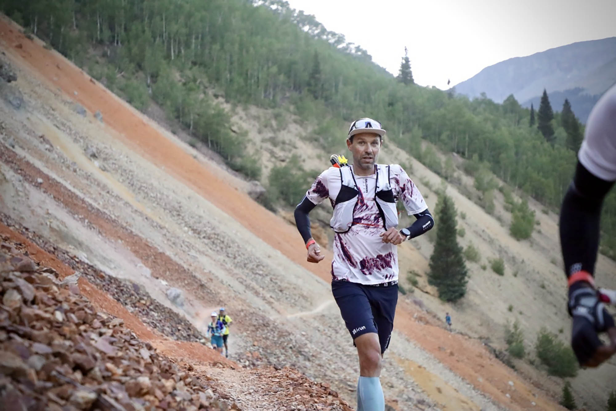
Thru-hiking is an inherently dangerous sport, no matter where you do it. But thru-hiking in Colorado comes with some specific dangers and unique hazards that all outdoor enthusiasts have to contend with. Traveling in the high country of the Rocky Mountains is incredibly rewarding — but it’s also serious business.
Weather
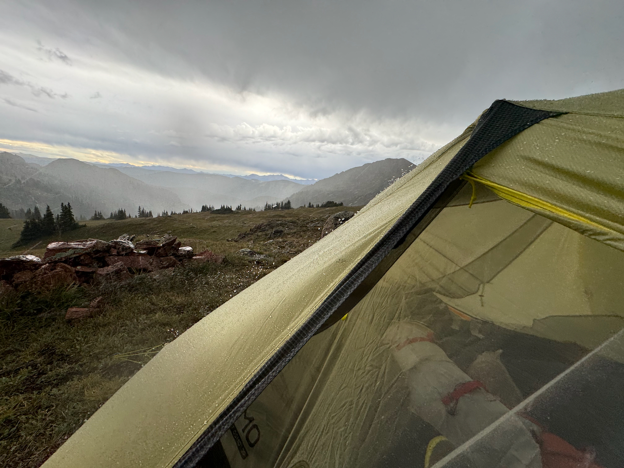
Colorado’s weather can be extremely unpredictable, especially in the summertime. It could be clear and sunny one second, and raining sideways or hailing dimes the next.
Be prepared to encounter thunderstorms. If you’re traveling above treeline, it’s best to descend and get lower out of the alpine environment. Lightning strikes have killed hikers in the state. If you see your hair standing on end, feel electricity in the air, hear crackling sounds, or see metal objects sparking, you are in danger.
Thunderstorms also produce graupel and hail frequently in the high country. If it starts to hail, seek cover and avoid open areas.
Wildlife
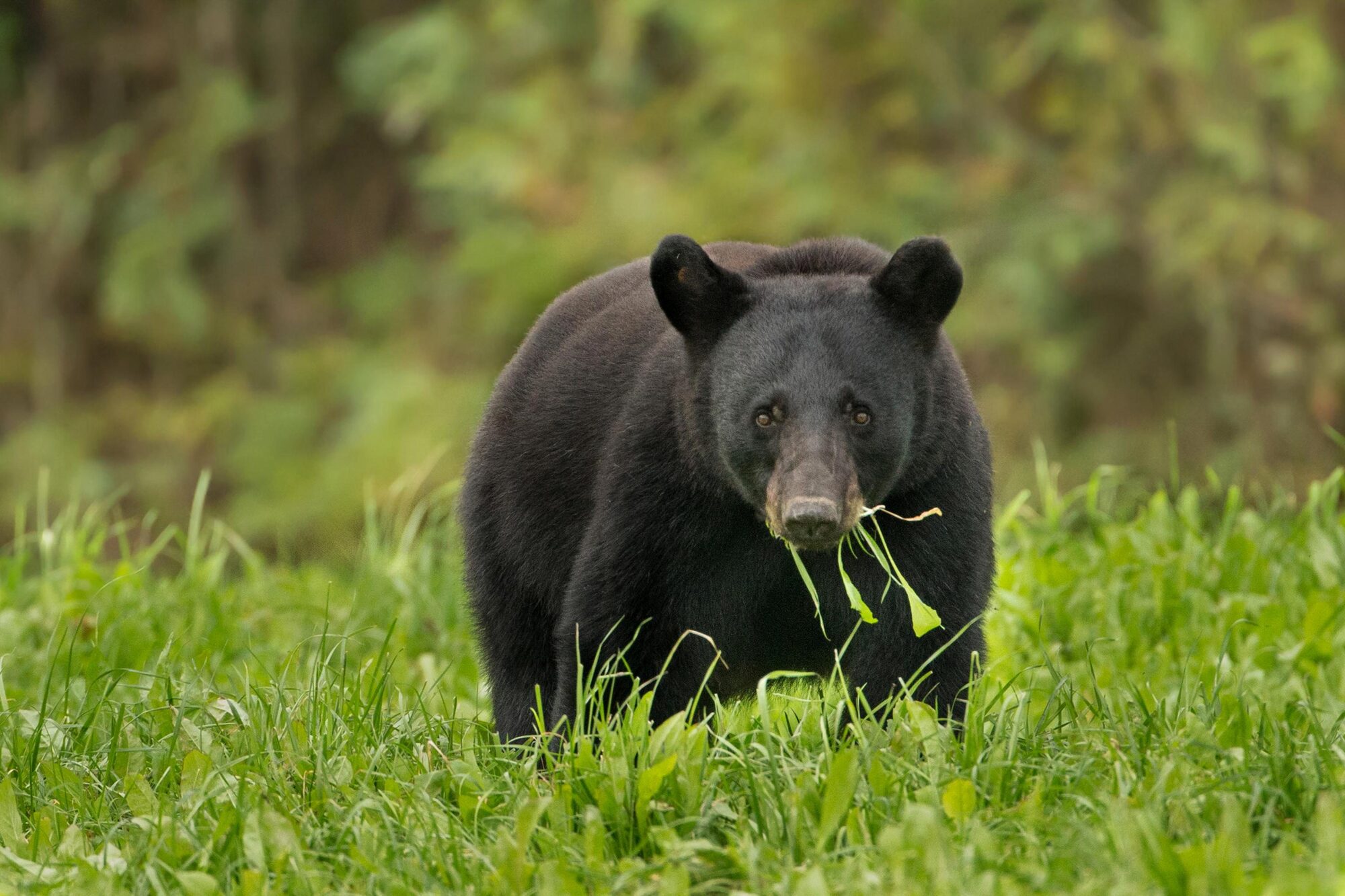
Colorado is home to numerous apex predators, namely bears, wolves, and mountain lions. Luckily, none of them are seriously interested in eating or attacking humans. You have to be careful and exercise caution, certainly, as encounters do happen. But for the most part, Colorado’s wildlife is pretty nonconfrontational.
That said, if you’re traveling in bear country (which much of the NOCO trail passes through), you should exercise bear safety. Use a bear canister or bear bag to store your food at night, and don’t keep food or scented items in your tent. Some people like to travel with bear spray, although it isn’t as necessary with black bears as it is with grizzlies in places like Montana or Alaska.
Mountain lions are one of the state’s most elusive creatures. Most locals who have lived in Colorado their entire lives haven’t even seen one. And while sightings are rare, attacks are even more so. In the last 34 years, there have only been three fatal attacks.
Wolves are a relatively new (or, more accurately, reintroduced) predator in Colorado. If you see or hear one, consider yourself lucky. They are not generally aggressive toward humans. In fact, in the last 100 years, there have only been two documented wolf fatalities in all of North America.
The NCT Gear List
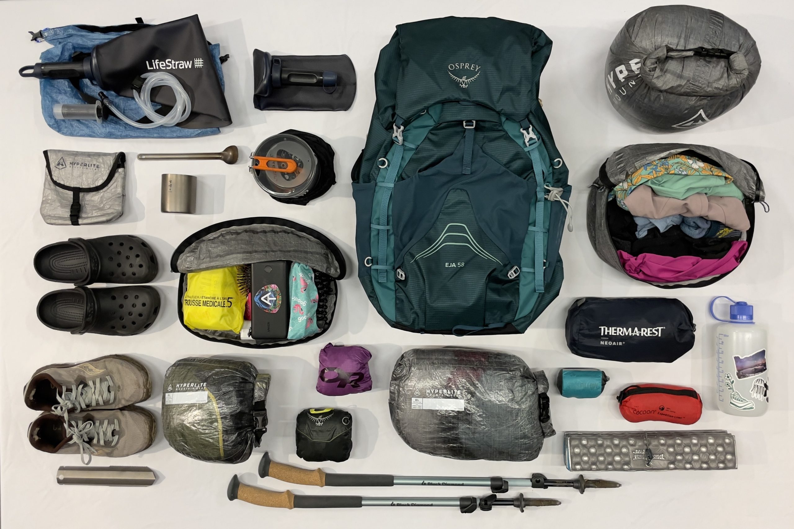
Thru-hiking requires a pretty extensive and specialized list of camping and backpacking gear. Many thru-hikers tend to pack light, using ultralight packs, tents, and sleep systems. They cold-soak their dehydrated meals so they don’t need to bring a stove, wear running shoes instead of boots, cut their toothbrushes in half, and forego all unnecessary luxuries.
I am not one of those hikers. When I’m backpacking, I’ll carry extra weight if it means I have a few of my favorite camp comforts with me. Even if I’m traveling many miles over several days, I’d rather have everything I need and some of what I want, than deprive myself for a few ounces off my back. To each their own, though.
The following list is a comprehensive (read: not minimalist) list of backpacking gear for the NOCO trail.
Outerwear & Apparel
- Rain jacket
- Rain pants
- Socks (several pairs)
- Underwear (several pairs)
- T-shirts
- Sun hoodie
- Sun hat/baseball cap
- Footwear (running shoes, hiking shoes, or hiking boots)
- Fleece jacket/hoodie
Gear & Accessories
- Sunglasses
- GPS/physical maps
- Satellite SOS messenger
- Compass
- Sunscreen
- Water filter/purification tablets
- Backpacking stove
- Lighter
- Spoon/fork
- Bowl
- External battery/charging device
- Camp towel
- Toiletries
- Headlamp/flashlight
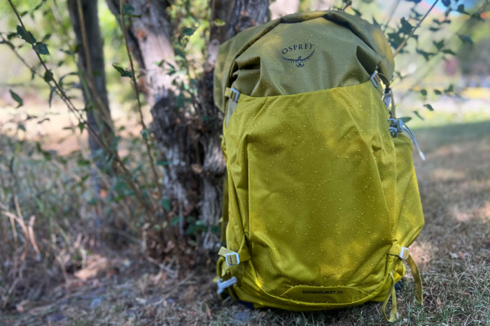
- Backpack (60+ L)
Sleep & Shelter
- Backpacking tent
- Backpacking sleeping pad
- Backpacking sleeping bag
- Sleeping bag liner
- Inflatable pillow
Preparation
It is not recommended to attempt the nearly 300-mile route without any form of training. No matter where you’re from, prepare your body by going on hikes, working on your cardio and endurance, and working your leg muscles. Load your pack up and take it on local trails. Do some squats at the gym. Jog a few miles more than you’re used to. Take the stairs instead of an elevator whenever you have the chance.
If you aren’t from altitude, it would greatly benefit you to travel to Colorado several days ahead of your start date. Giving yourself time to acclimate to the elevation of the Rocky Mountains will save you a lot of pain later on.
Logistically, resupplying on the NOCO trail will be one of the biggest planning and preparation hurdles hikers will face. Luckily, there are four towns along the route where hikers can stop and access stores, restaurants, and lodging. The NOCO trail and its alternate routes pass through (or near) Walden, Steamboat Springs, Yampa, and Oak Creek. Check out the NOCO Trail’s webpage on resupplying for more info on each town.